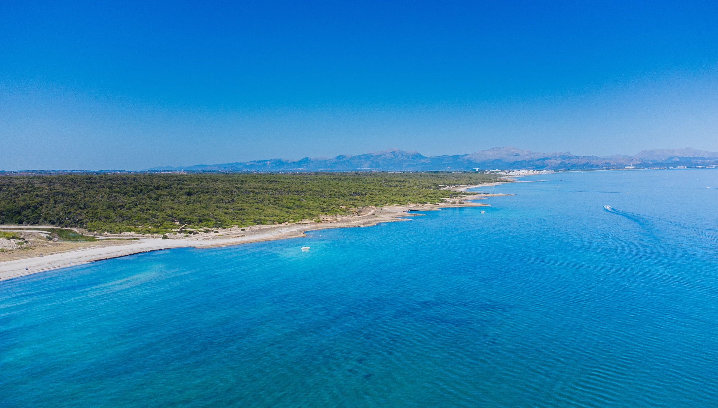



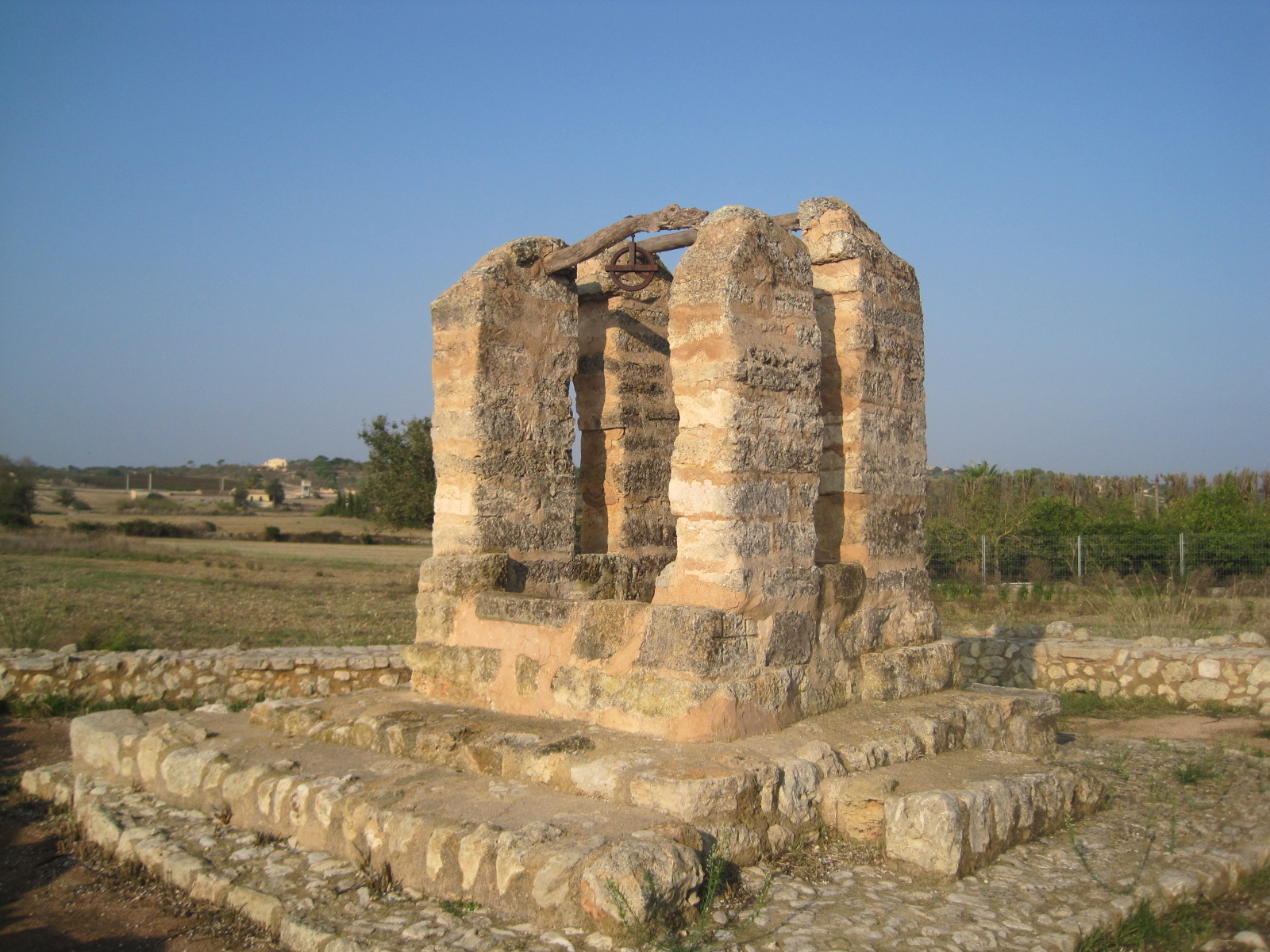
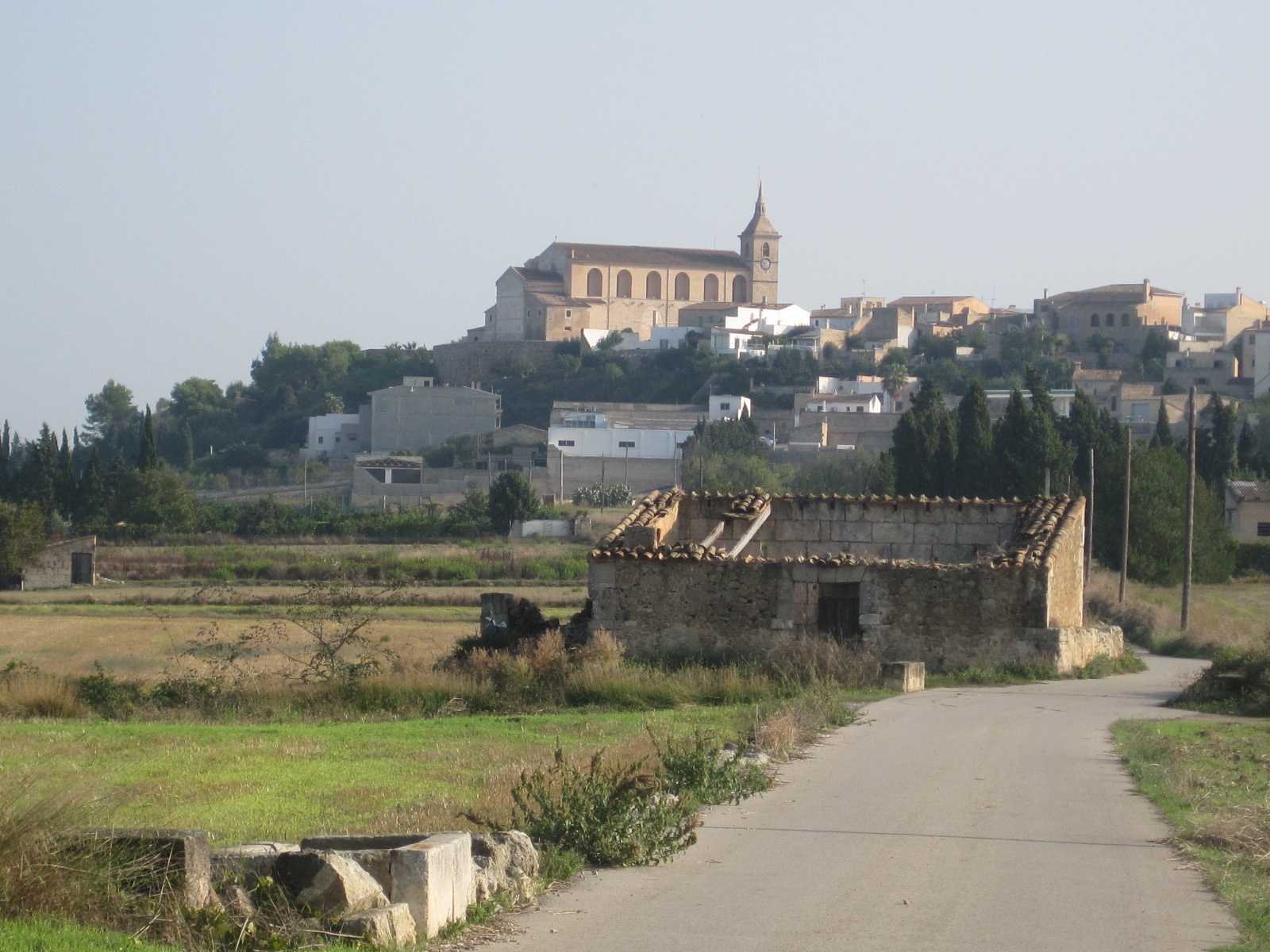
This route, which begins at the Son Bauló Dolmen and connects the tourist hub of Can Picafort with the town of Santa Margalida, primarily features the local dry-stone paths; these flank the *Síquia Reial* (Royal Canal) and lead to the Islamic-era hydraulic system of the La Vila area, including sites such as the Pou d’Hero.
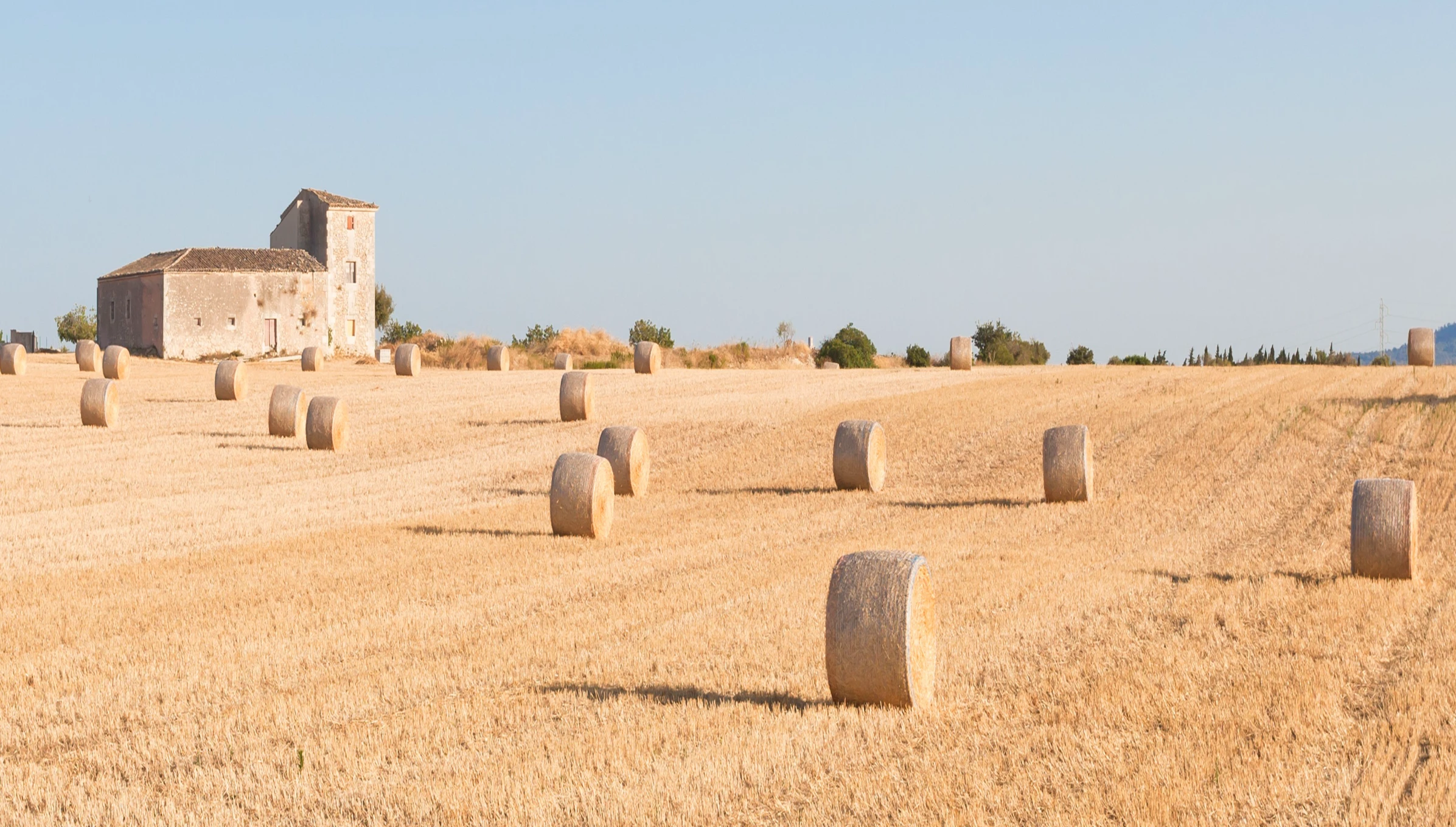
The carrerasses were originally access roads created as a result of the subdivision, during the 19th and 20th centuries, of many of the possessions (large estates) in the municipality. They are bordered by dry-stone walls on both sides of the path or carrerassa. These dry-stone walls are used to delimit and enclose each plot of land, which is where their popular name, ""tanca"", comes from.
Together, they form one of the most distinctive features of the landscape that can be enjoyed along this route. Traditional flocks of sheep can also often be seen grazing in many of the tanques. Finally, the route ends at the Plaça de la Vila.
Get inspired, discover things to do, check out the latest updates, and experience Can Picafort before, during, and after your trip.